Map Graphics for Maleme, Crete
With the last blog entry dedicated to vehicle graphics we’re reviving the promised map graphics entry. The scenario creation will be deferred to the next blog post.
A map, like game counters and unit images is one of the most obvious visual elements. Maleme Crete includes what are a third generation of map graphics since launching the Panzer Battles series.
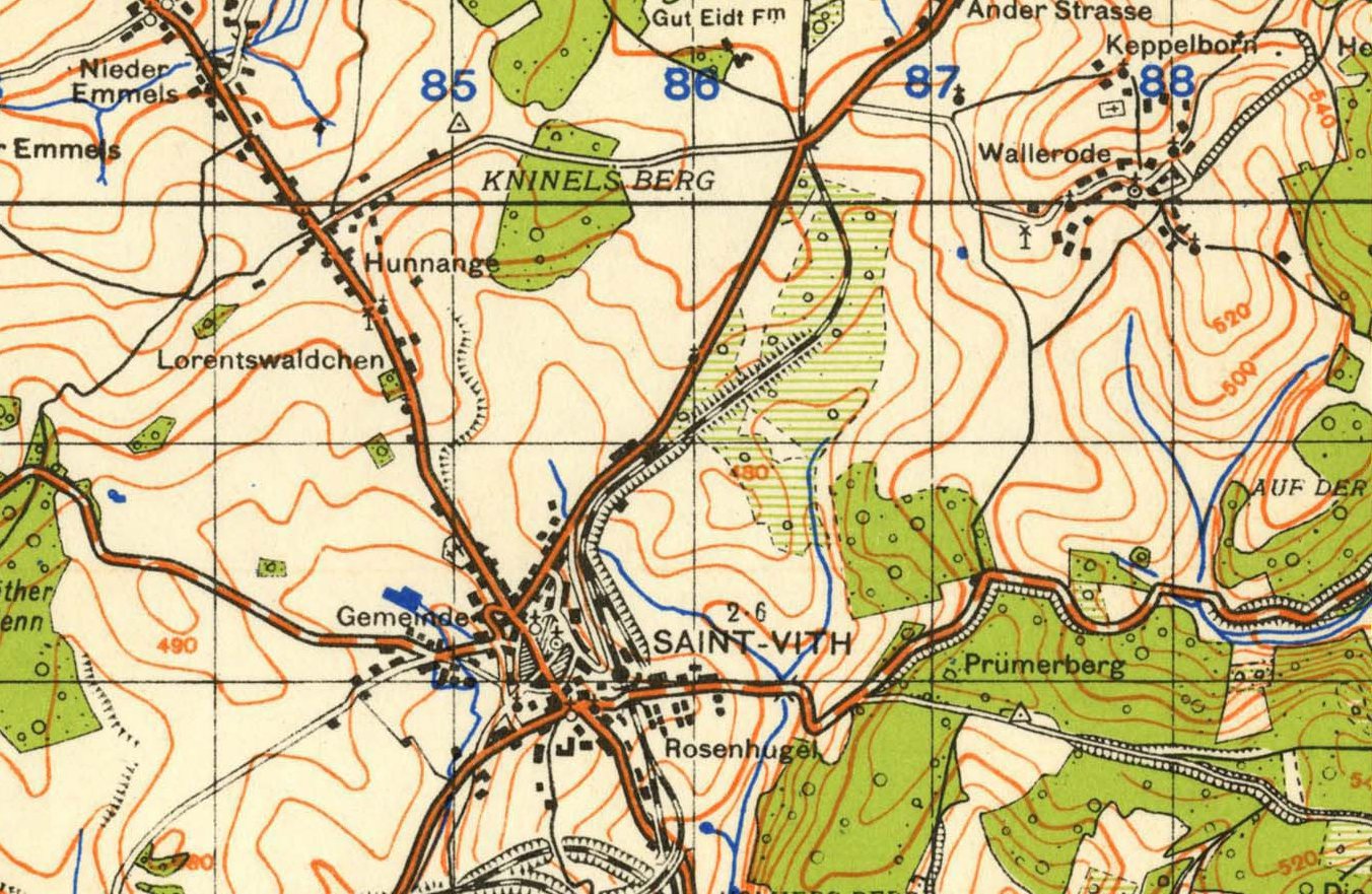
There are a number of approaches you can go with a map. You can either go with the ‘paper map’ approach;
Or a more photo like approach – here is the same area from Google maps;
We decided to go for the more naturalistic satellite view for Panzer Battles. As these are grand tactical scale games we felt it lent itself better to this overhead style. For higher scale games such as Panzer Campaigns there is a stronger argument for the more stylised map.
The terrain map is made up of a number of components.
The first is the base hex terrain. This is used as the default ‘clear’ hex and all other hexes are built on top of it.
The 2D features usually overlays the base terrain to represent a multiplicity of different hex types, including forest and village for example;
The third component is for hex sides and includes streams, rivers bridges and other items such as cliffs;
Transport routes in hex such as road, rail and trails is the final map overlay. Below you can see an example of the various rail configurations;
If a different theatre is required, such as winter or the desert then different terrain sets can be used. Below is the base terrain for both snow and desert;
This variation is not just limited to the base terrain, many of the overlays can also be adjusted for the climactic conditions. Here are the desert features with different building styles and appropriate foliage and other hex types;
All of these files are easily editable in any graphics editing program and allow the various look and feel of each theatre to be obtained.
Here are some end results (all clickable for full size);
North Western Europe - Normandy;
Russia – Kursk Summer;
Russia – Kursk Winter. Note none of the features are optimised for winter here. Buildings would have snow on them, trees would be white etc;
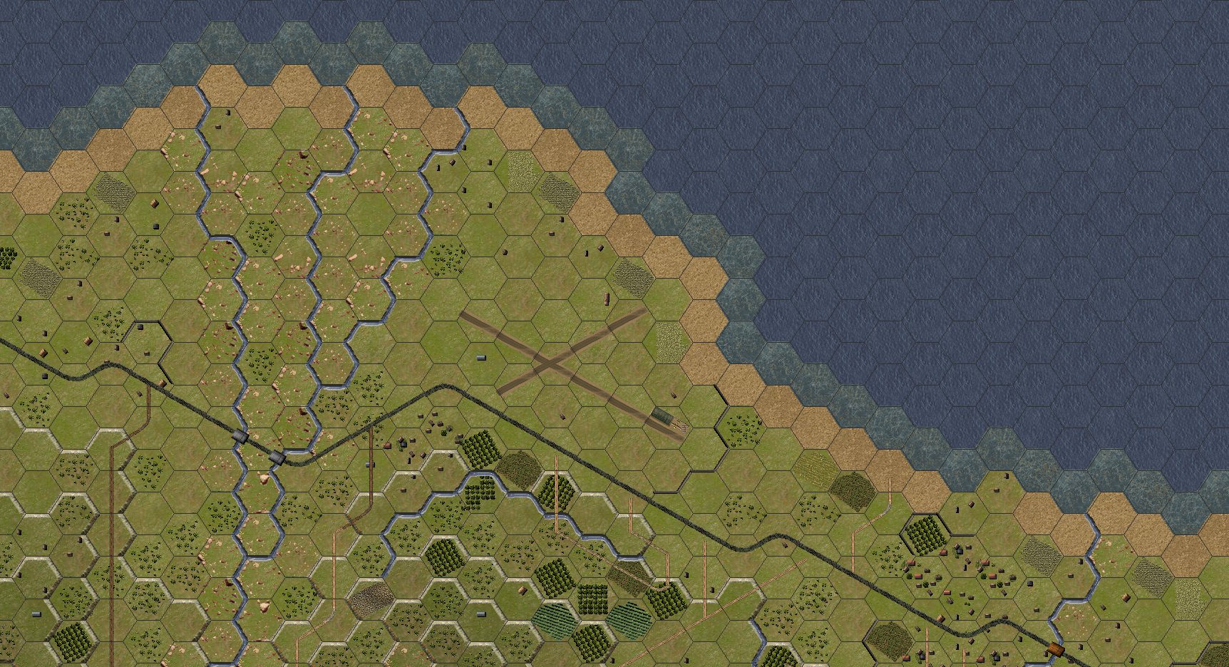
Mediterranean – Maleme, Crete;
And finally North Africa in the desert;
We are constantly tweaking the map graphics as we learn new techniques and I expect all our graphics will continue to evolve over time.
As mentioned in the last blog entry, we plan to cover scenario setup in our next post.


Leave a comment